Chinese surveyors delay reaching summit of Mt. Qomolangma due to risk of snow slides


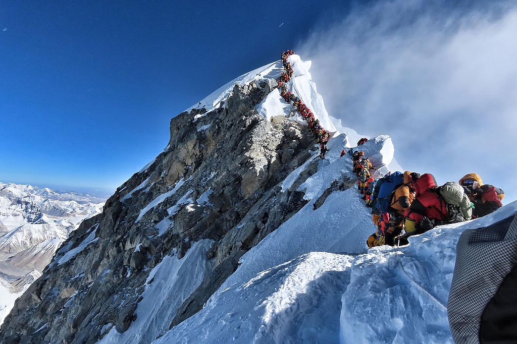
MOUNT QOMOLANGMA BASE CAMP -- A team of more than 30 Chinese surveyors have delayed their original plan to climb to a camp at an altitude of 7,028 meters on Saturday due to the risk of snow slides.
Wang Yongfeng, vice director of the mountaineering administrative center of the General Administration of Sport, said they are now at a camp at 6,500 meters.
The surveyors are on a mission to conduct surveys at the summit to accurately measure the height of Mount Qomolangma.
Wang said six mountaineering guides and 27 material transportation personnel set out on Friday toward an icy rock face at an altitude of 7,028 meters. However, when reaching an altitude of 6,700 meters, they found that the snow on the climbing route was relatively deep and there was a danger of snow slides. So they returned to the camp at 6,500 meters.
He said the team members are resting and practicing climbing skills and the use of measuring instruments.
"All team members are in good condition. The mountaineering guides group will explore the route to the altitude of 7,028 meters to assess the risk of snow slides beneath the icy rock so as to decide the following climbing schedule," said Tsenor, captain of the surveying team.
Located at the China-Nepal border, Mount Qomolangma is the world's highest peak, with its north part located in Xigaze of Southwest China's Tibet autonomous region.
Since the founding of the People's Republic of China in 1949, Chinese surveyors have conducted six rounds of scaled measurement and scientific research on Mount Qomolangma and released the height of the peak twice in 1975 and 2005, which was 8,848.13 meters and 8,844.43 meters respectively.
In 1975, when the Chinese mountaineering team scaled Mount Qomolangma, no professional surveyors reached the top. But the mountaineers took a survey marker to the summit, which helped surveyors from nine observation stations near the mountain to calculate that it stood 8,848.13 meters tall.


- Eight missing after cargo ship collides with fishing vessel near Shandong
- Investing in people: a worthwhile investment
- Exhibition commemorating the epic relocation of universities opens in Fujian
- Twelve punished for scaffold collapse that killed 7 in Shandong
- Slovenian official visits whole-process people's democracy practice site of CPPCC committees
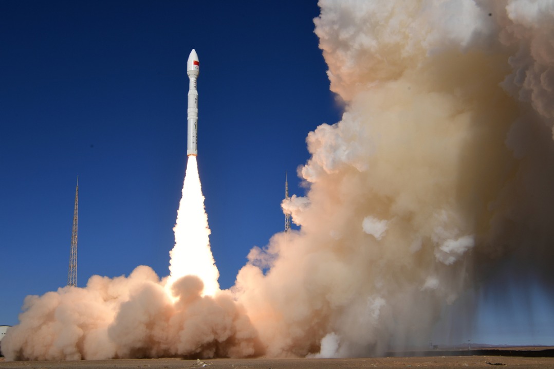
- China's commercial rocket maker puts two satellites into orbit