Satellites estimate quake damage


A research team from Wuhan University in Hubei province is measuring the amount of light picked up by satellites to estimate the scale of damage in earthquake-stricken areas in Turkiye.
The team started the analysis by remote sensing technology on Tuesday, a day after the magnitude 7.8 earthquake struck southeastern Turkiye.
Current results showed that lights at night in Hatay, Kahramanmaras and Adiyaman have plummeted. Among them, more than 90 percent of lights disappeared in Hatay, indicating serious damage to infrastructure.
Li Xi, a professor of remote sensing science from the university, led the team, which collected satellite photos taken after the earthquake by organizations and institutions at home and abroad. They then compared them with pre-earthquake photos.
"A sudden loss of lights in such large areas shows that the power cut has severely affected the economy and daily life there," Li said, adding that analysis is ongoing.
On Thursday, a Wuhan University satellite took an image with a resolution of 20 meters, and Li's team is waiting for the satellite to transmit data.
Li said that they have come across some difficulties when shooting photos with optical satellites due to rainy and snowy weather in the disaster-hit areas. The three major cities experienced less cloudy and rainy weather, so they were able to get results.
"It was generally believed that the closer to the epicenter, the greater the damage. However, differences in regions' disaster response capabilities should be taken into account. Through the change of lighting, we can see how heavy the damage is and calculate cities' disaster response abilities. That helps decision-makers take more accurate relief measures," Li said.
Li has informed the United Nations Satellite Center and the World Food Programme of their results to aid the organizations in making disaster-relief policies.
Following the earthquake, the UNSAT activated emergency mapping services and invited Li's team into the project.
Li's team has been engaged in the mapping services since 2017 to assess the impact of disasters by remote sensing for humanitarian purposes.


- Scholars call for ecological protection of Tunbu culture
- Cross-Strait exhibition highlights Chinese crested tern conservation
- China halts port fees on US vessels for one year
- China moves to cut teachers' administrative workload
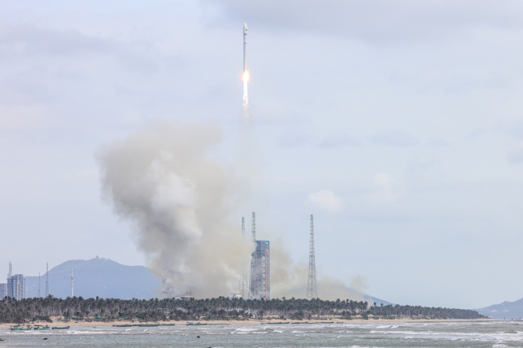
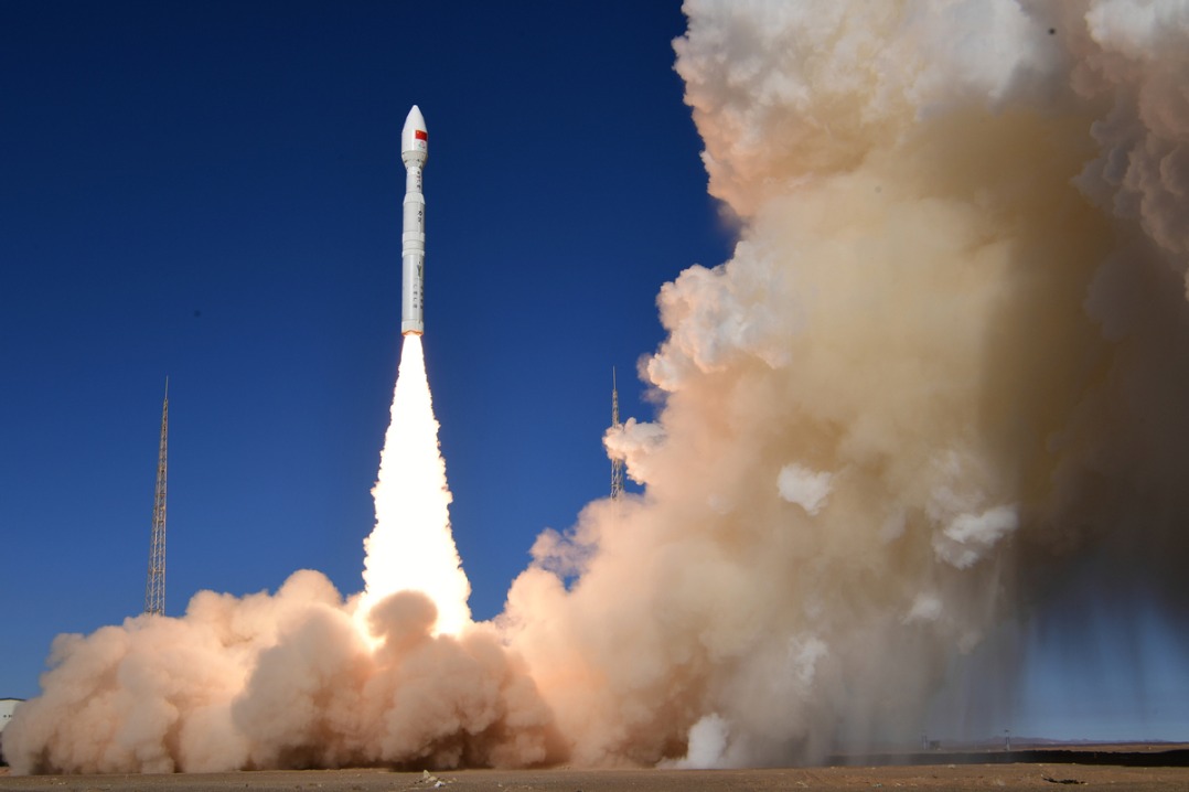
- China launches group of internet satellites into orbit
- Former senior official expelled from CPC for serious violations