Beidou helping Tajikistan prep for temblors
Navigation system used to monitor dam at lake in quake-prone zone


To address the power supply issue, the research team capitalized on the strong sunlight on the plateau for photovoltaic power generation, storing the energy in batteries to ensure continuous power supply that could persist in cloudy, rainy, or snowy weather for as long as three months.
The team also built a local network on the dam, enabling data exchange within the devices. Through a satellite communication platform, aggregated data was transmitted via satellite to the Dushanbe subcenter of the Research Center for Ecology and Environment of Central Asia of the CAS, as well as Tajik emergency departments. The subcenter then conducted a comprehensive analysis of the deformation data, achieving real-time reporting of deformation warnings, Wang said.
"In fact, the technological breakthrough did not happen overnight this year. It was a concentrated effort of our accumulated technology over the past decades," Tu said.
In 2019, the first China-Central Asia Beidou Cooperation Forum was held, laying the foundation for satellite navigation cooperation between China and Central Asia, Tu said.
Apart from disaster prevention, the Beidou system has also been integrated into transportation, public safety and weather forecasting in the Central Asian region.
"From the Silk Road in history to the Belt and Road Initiative, China has established a solid foundation of trust with Central Asian countries, and cooperation in economics, technology, culture and security continues to deepen," Tu said. "The extensive application of the Beidou system will undoubtedly further facilitate the deepening development of this cooperation."
Against this backdrop, the joint Chinese-Tajik team conducted research on the development of integrated data collection equipment and networking communication strategies in complex environments, as well as research on high-precision positioning data processing and deformation analysis techniques using Beidou technology.
The team ultimately established a Beidou deformation monitoring system suitable for specific conditions at Lake Sarez, achieving high-precision deformation monitoring of the Usoi Dam and international disaster reduction cooperation.


- China's 'Jiutian' large drone takes first flight, aims for versatile civil roles
- The Olympic spirit: a guiding light in everyday life
- Ambassadors promote China-Africa cooperation at lecture tour in Shanxi
- China's poverty alleviation achievements continuously consolidated, expanded in 2025
- China achieves key results in 10-year fishing ban on Yangtze River
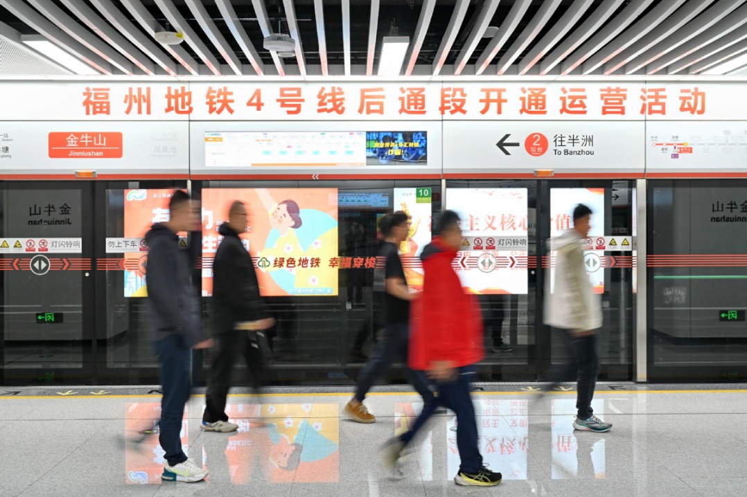
- Line 4 of Fuzhou Metro begins operation